https://drsj.fis.ung.ac.id/ https://kalbar-hidromet-sih3.bmkg.go.id/ https://kaltim-hidromet-sih3.bmkg.go.id/lib/ https://biologi.sci.unhas.ac.id/ https://bie-sby.telkomuniversity.ac.id/
Camping in the shadow of Annapurna Massif - Photo #4615 - #photoNepal
loader
download_img
More from yongyut
Mt. Everest view from Renjo La to Gokyo Lake
User yongyut
694 2
Ama Dablam
User yongyut
808 1
Mera Peak trekking
User yongyut
825 2
Tilicho Lake
User yongyut
813 1
Panorama view from Mera High Camp
User yongyut
671 2
Starry night at Saribung base camp
User yongyut
899 3
Mera Peak high camp
User yongyut
660 0
On the top of Saribung Peak
User yongyut
730 1
Crossing the Baruntse Plateau at 6140m
User yongyut
635 0
Annapurna Massif
User yongyut
632 0
Mera high camp
User yongyut
577 0
Before sunrise
User yongyut
762 0
Descent from West Col at 6,150m
User yongyut
865 0
Lobuche Peak climbing
User yongyut
645 0
Stone Statue Of Lord Garuda, Durbar Square
User yongyut
628 0
Descent from Mera high camp
User yongyut
670 1
Gokyo Ri
User yongyut
701 1
Dog on the top of Saribung peak
User yongyut
772 1
Everest region trekking
User yongyut
610 1
Machapuchare
User yongyut
784 0
camp site ...on the way to Saribung peak
User yongyut
675 0
From Tilicho Lake to Jomsom
User yongyut
696 0
Mt. Pharilapche, Gokyo Lake
User yongyut
749 1
Tilicho Peak
User yongyut
695 1
Himalayan tahr and Ama Dablam
User yongyut
787 1
Panorama view from Dzongla to Lobuche
User yongyut
694 1
Imja Tse, Island Peak
User yongyut
935 1
Panorama from Mera high camp
User yongyut
569 0
Moving to Tent Peak
User yongyut
726 0
Yak parade with Ama Dalam
User yongyut
863 0
Camping with Milky Way
User yongyut
726 0
Panorama near the summit of Mera Peak
User yongyut
640 1
Mt. Everest view from Renjo La
User yongyut
623 0
Camp site with Annapurna range background
User yongyut
698 0
Tibetan snowcock
User yongyut
595 0
Moving down to Mera high camp
User yongyut
687 0
Imja Tse, Island Peak
User yongyut
660 1
Mount Makalu
User yongyut
716 0
Walking along the Ice wall
User yongyut
702 1
Descent from West Col at 6,150m
User yongyut
723 1
Himalayan tahr and Mt. Ama Dablam
User yongyut
721 0
On the way to Mera high camp
User yongyut
633 1
Makalu
User yongyut
850 1
Baruntse Plateau (From Sherpani Col to West Col)
User yongyut
724 0
Descent from Sherpani Col
User yongyut
800 0
Panorama view from Kala Patthar
User yongyut
1.1k 1
Mount Everest viewed from Kala Patthar
User yongyut
1.5k 4
Tilicho Lake
User yongyut
899 1
View from Mera Peak high camp
User yongyut
657 0
Makalu at night
User yongyut
799 1
EBC trek
User yongyut
789 1
A ash laminated sadhu at Pashupatinath temple
User yongyut
683 0
Machapuchare
User yongyut
679 0
Sunrise view along the way to Mera Peak
User yongyut
889 0
Lobuche Peak climbing
User yongyut
666 1
Makalu view from Sherpani Col
User yongyut
619 0
Annapurna base camp trek
User yongyut
762 2
Crossing landslide route
User yongyut
736 0
Domestic Yak
User yongyut
561 0
Tilicho lake to Jomsom
User yongyut
665 0
Ama Dablam
User yongyut
705 1
On the way to Mera Peak
User yongyut
553 0
Gokyo Lake
User yongyut
677 0
Island Peak summit
User yongyut
837 1
photographer_image

Camping in the shadow of Annapurna Massif

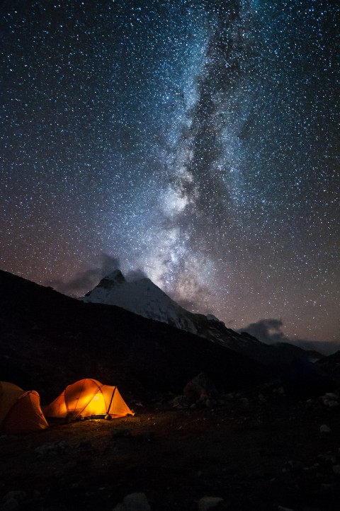
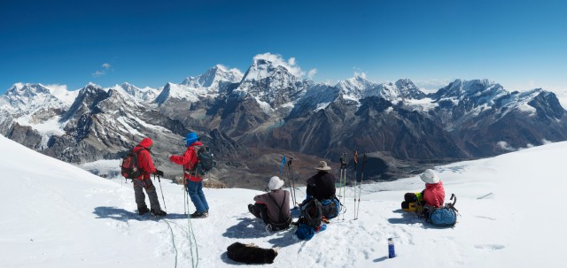
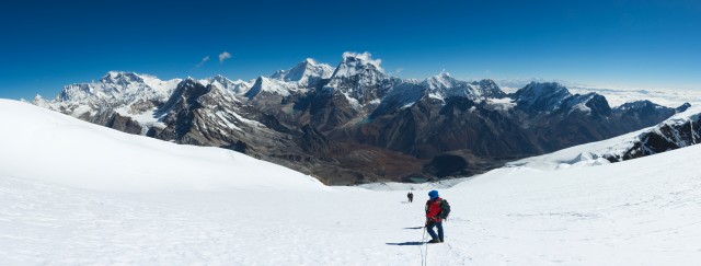
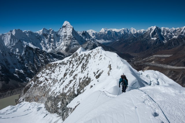
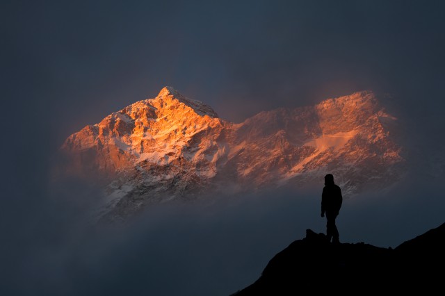
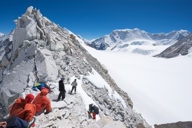
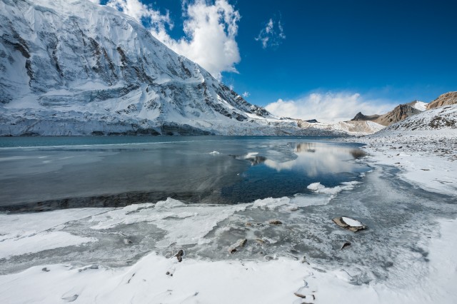
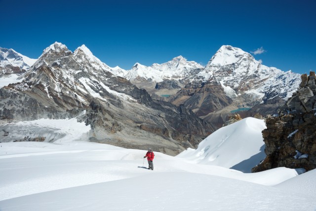
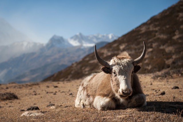
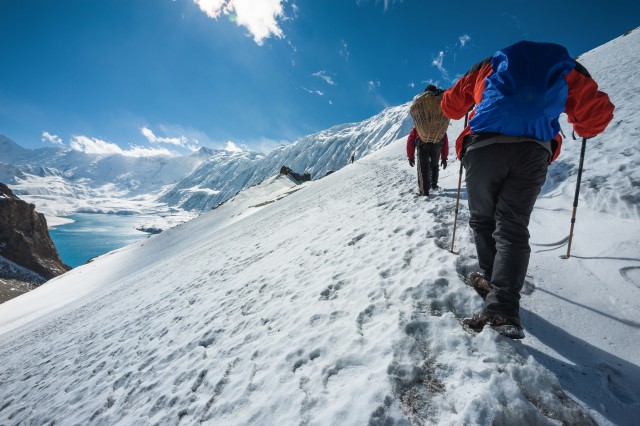
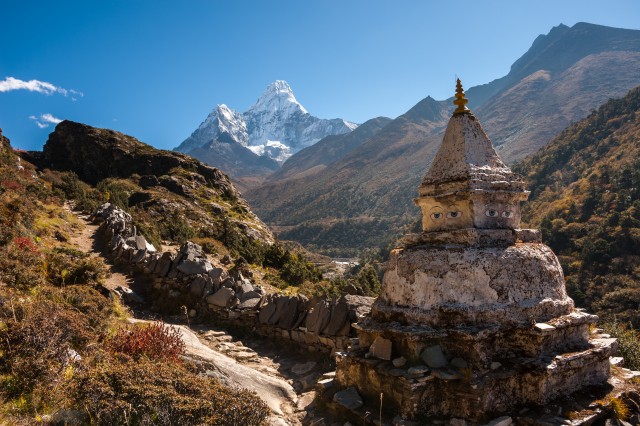
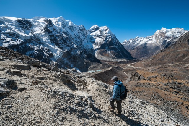
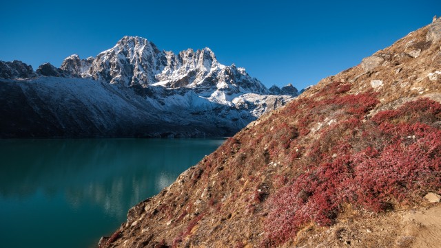
Annapurna conservation area

by yongyut Published on Sep 19, 2020

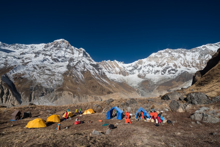
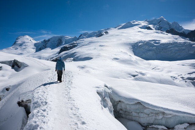
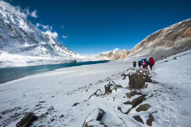
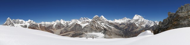
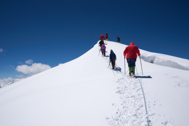
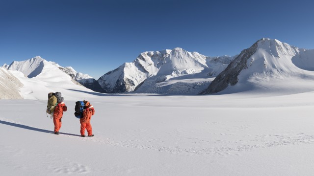
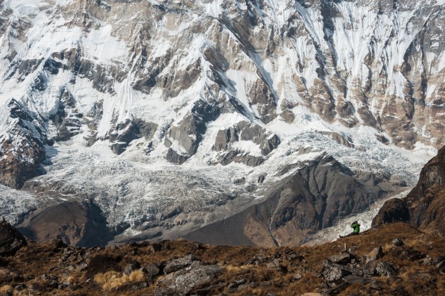
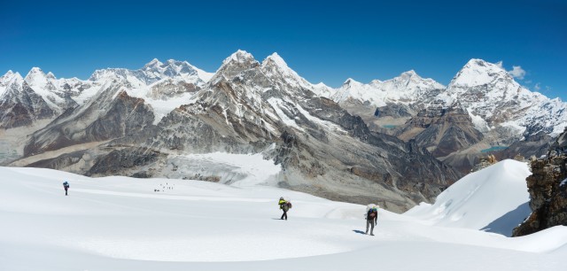
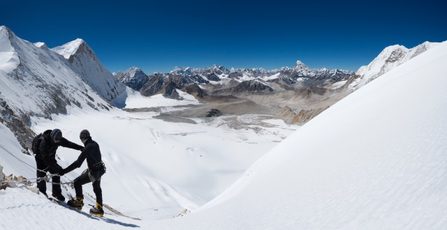
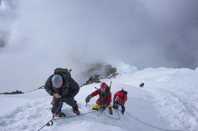
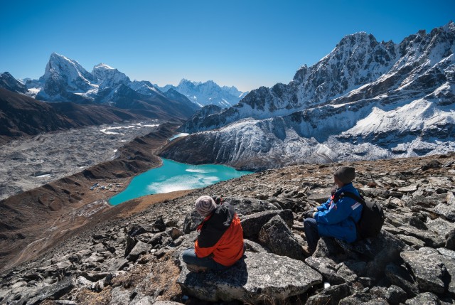
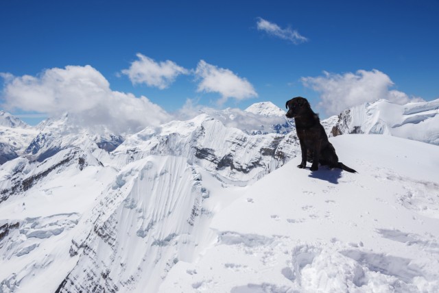
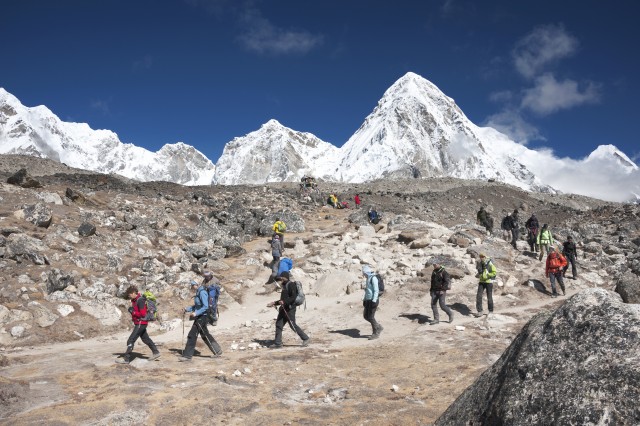
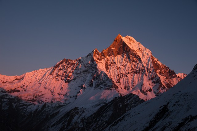
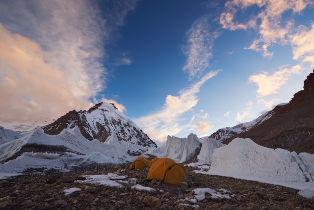
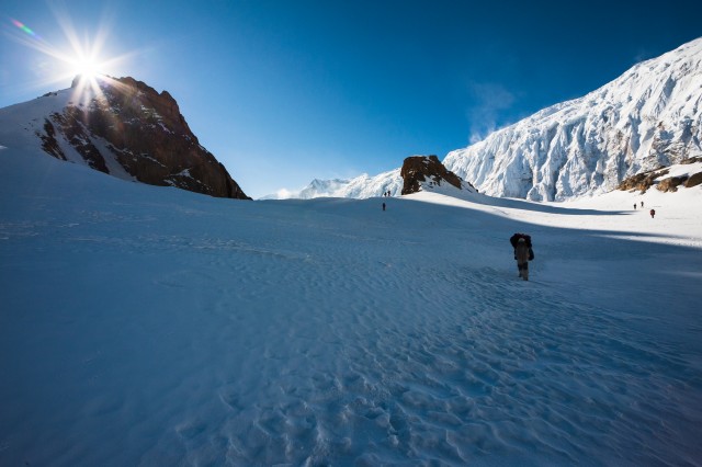
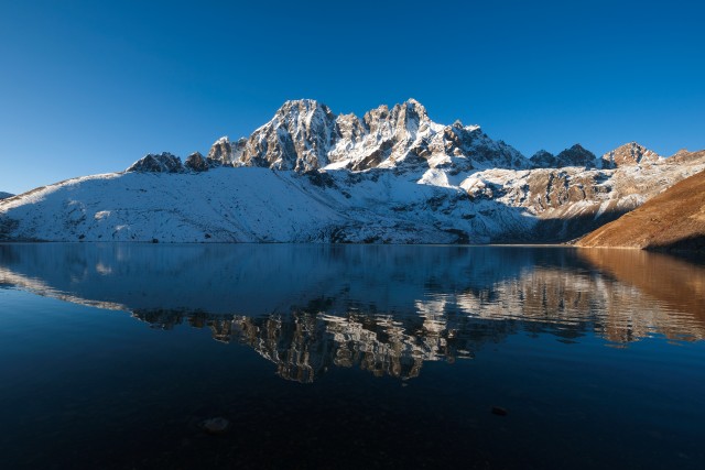
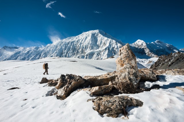
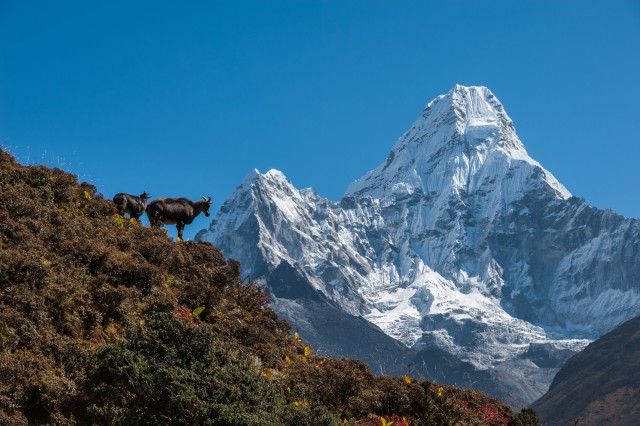
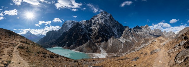
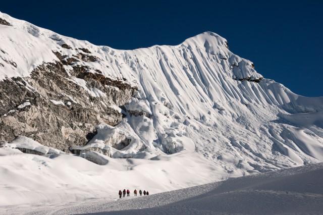
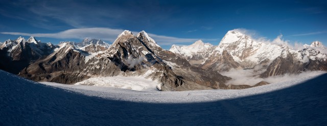
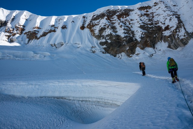
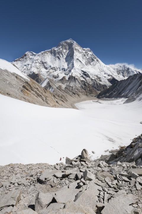
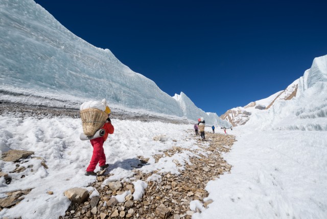
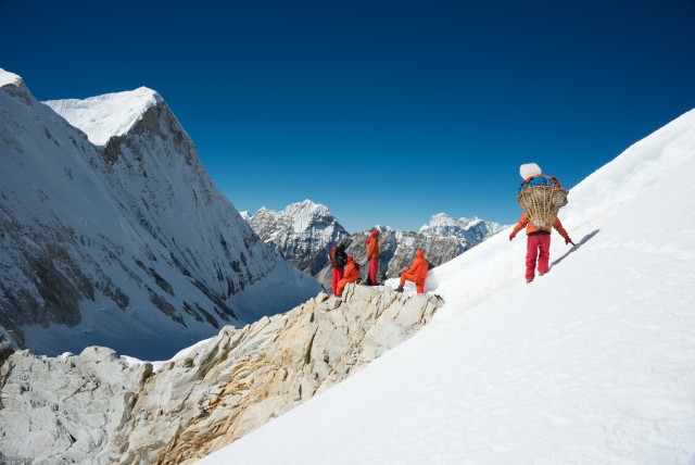
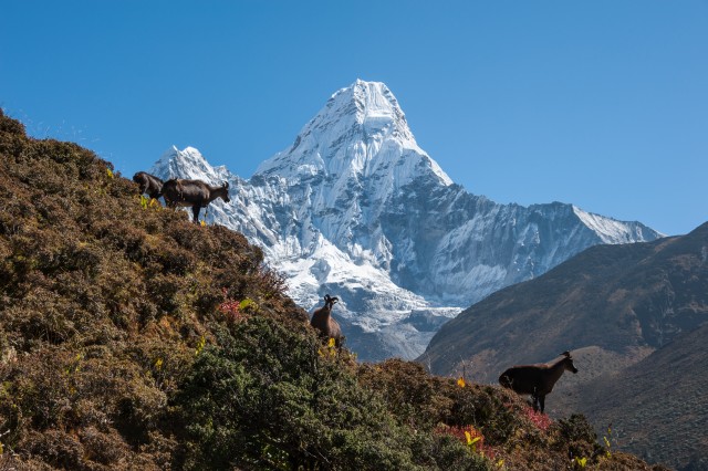
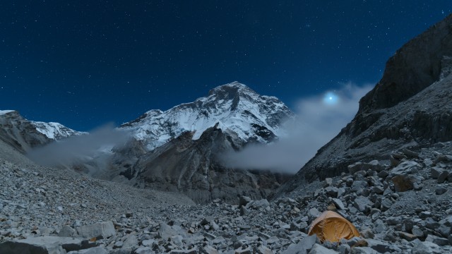
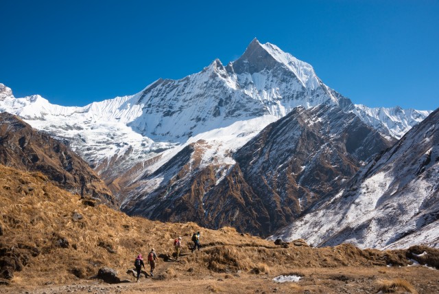
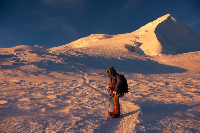
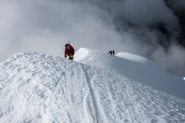
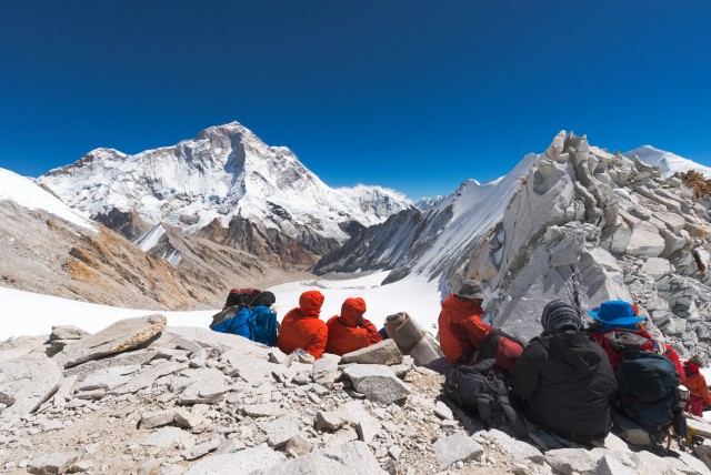
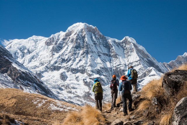
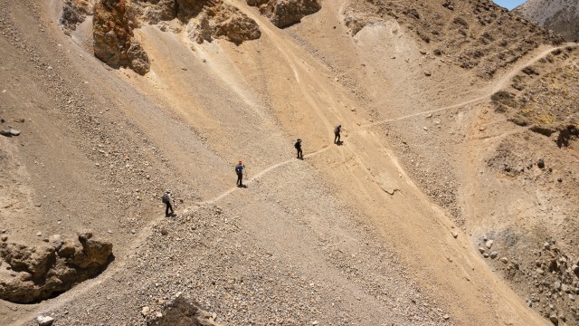
The Annapurna Region is home to the Annapurna Massif. The Annapurna Massif counts sixteen peaks over 6,000 meters (20,000 ft), thirteen peaks over 7,000 meters (23,000 ft) and one peak over 8,000 meters (26,000 ft). The highest peak is Annapurna I and ranked 10th highest peak in the world.

License and Use
Contact Photographer
Exif Data

Photo taken with

NIKON D800

140mm f/14.0 1/500s

Resolution: 7360x4912

Comments(1)

#photoNepal

  • Loading...